 South Korea
 Map: Where It Is, Provinces, Cities and Islands
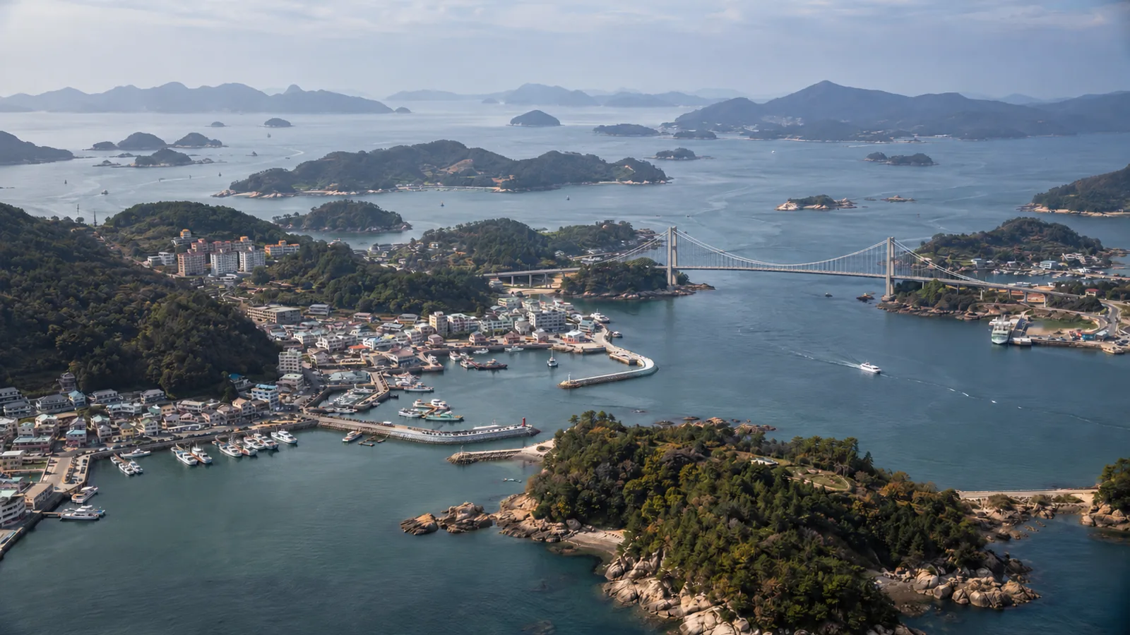
South Korea occupies the southern part of the Korean Peninsula in East Asia, between China to the west and Japan to the southeast. It's a compact country: about 38,790 square miles (100,459 sq km), so you can cross it by high-speed train in an afternoon. This page walks you through the map the way a traveler needs it: where things are, and how long it takes to get between them.
Where is South Korea on the map?
Find Japan, then look just west across the Korea Strait. The Korean Peninsula sticks south from the Asian mainland between longitudes 124 and 132 degrees east, on the eastern edge of the Eurasian continent and the northwestern rim of the Pacific. China and Russia lie to the north of the peninsula, and Japan lies to the south across the strait.
The peninsula as a whole covers about 86,260 square miles (223,404 sq km). South Korea holds the southern part, below the Demilitarized Zone (DMZ) that has separated it from North Korea since the 1953 Armistice Agreement. Seas wrap around three sides, and the coastline, counting islands, runs about 9,470 miles (15,241 km).
Where is Seoul on the map?
Seoul sits in the northwest of the country on the Hangang River, inland from the Yellow Sea coast. It forms the capital region together with Incheon, the port city to the west where the main international airport is, and Gyeonggi Province, which surrounds both. Most flights from the US land at Incheon, and the Airport Railroad express reaches Seoul Station in about 43 minutes from Terminal 1.
Our Seoul travel guide zooms in on the neighborhoods, palaces and subway lines once you're there.
South Korea's provinces and special cities
South Korea is divided into 16 top-level administrative areas. You'll see these names on train tickets, bus signs and addresses, so it helps to recognize them. The suffix -do means province.
| Type | Names |
|---|---|
| Special city (1) | Seoul |
| Metropolitan cities (5) | Busan, Incheon, Daegu, Daejeon, Ulsan |
| Integrated special city (1) | Jeonnam-Gwangju (Gwangju and South Jeolla combined) |
| Special self-governing city (1) | Sejong |
| Provinces (5) | Gyeonggi-do, Chungcheongbuk-do, Chungcheongnam-do, Gyeongsangbuk-do, Gyeongsangnam-do |
| Special self-governing provinces (3) | Gangwon, Jeonbuk, Jeju |
For trip planning, think in five rough zones: the capital region in the northwest, Gangwon's mountains and east coast in the northeast, the Chungcheong provinces in the center, the Gyeongsang provinces in the southeast (Busan, Daegu, Gyeongju), and the Jeolla provinces in the southwest. Jeju is the big island off the south coast.
South Korea map with cities: distances and travel times
Here's how the main travel stops line up from Seoul. Korail and the Korea Tourism Organization publish route lengths and lines rather than one fixed travel time, because times vary by train and number of stops, so check the exact schedule when you book.
| Destination | Region | Fastest way from Seoul | Notes |
|---|---|---|---|
| Busan | Southeast coast | KTX on the Gyeongbu Line from Seoul or Yongsan; KTX from Suseo (former SRT); flights from Gimpo to Gimhae | Gyeongbu rail line is 278 miles (447.1 km) long |
| Gyeongju | Gyeongsangbuk-do | KTX on the Gyeongbu Line; flights from Gimpo to Pohang/Gyeongju airport | Former Silla capital |
| Daejeon | Central | KTX on the Gyeongbu Line | Rail junction for the Honam Line |
| Gangneung | Gangwon east coast | KTX on the Gangneung Line from Cheongnyangni | Line is 148 miles (237.7 km), via Pyeongchang |
| Mokpo and Gwangju | Southwest | KTX on the Honam Line; KTX from Suseo (former SRT) to Mokpo | Honam Line runs 157 miles (252.5 km) from Seodaejeon |
| Yeosu | South coast | KTX from Seoul or Yongsan; flights from Gimpo | Gateway to the south coast islands |
| Jeju Island | Off the south coast | Fly from Gimpo or Incheon to Jeju (CJU) | Gimpo to Jeju is among the busiest air routes in the world |
Once you're in Korea, use a local map app such as Naver Map or KakaoMap for door-to-door routes; they show train, subway and bus legs. Our page on getting around South Korea explains the KTX and transit cards.
The Korea Tourism Organization's train guide lists the KTX lines and where they run, and its domestic flights page lists which airlines fly from Gimpo, Gimhae and Jeju.
Airports on the map
Incheon (ICN) handles most long-haul flights, including those from the US. Gimpo (GMP), closer to downtown Seoul, is the main domestic hub, about 23 minutes from Seoul Station on the AREX all-stop train. Busan's Gimhae and Jeju International are the other airports you're most likely to use, and the full picture of US routes is on our flights to South Korea page.
Physical geography: mountains, rivers and coasts
About 75% of the peninsula is mountainous. The higher ranges, over 3,280 feet (1,000 m), are concentrated in the north and east, which is why the east coast feels steep and narrow while the west and south coasts flatten into farmland, tidal flats and islands. Korea's tidal flats are on the UNESCO World Heritage list as Getbol, Korean Tidal Flats.
For visitors that shape means hiking is never far away, even from Seoul. The Korea Tourism Organization's list of 100 must-visit spots includes Seoraksan, Mudeungsan, Naejangsan and Palgongsan national parks, along with beaches such as Haeundae and Gwangalli in Busan, Daecheon in Chungcheongnam-do and the Jeongdongsimgok Badabuchae coastal trail in Gangwon.
Islands: Jeju and beyond
The south and west coasts are scattered with islands. Jeju is the one most travelers visit: a volcanic island whose peak, Hallasan, is South Korea's highest mountain at 6,398 feet (1,950 m). UNESCO lists Jeju Volcanic Island and Lava Tubes for Hallasan, the Seongsan Ilchulbong tuff cone and the Geomunoreum lava tube system. Smaller islands on the tourism office's must-visit list include Udo, off Jeju, and Ulleungdo, part of Gyeongsangbuk-do, plus Gyodongdo near Incheon and the Purple Island in the Jeonnam-Gwangju area.
Jeju has its own airport and road network. From Jeju airport, the Korea Tourism Organization puts a taxi at about 50 minutes to Jungmun and Hallasan and about 80 minutes to Seongsan Ilchulbong. See our Jeju Island guide for how to split your time between the north and south sides.
Using the map to plan a route
The Gyeongbu Line is the backbone of most first trips: Seoul, then Daejeon, Daegu and down to Busan, with Gyeongju just off the line. One easy pattern is to ride it south and fly back to Seoul, or add Jeju as a flight from Busan or Gimpo. Our sample South Korea itinerary turns that into day-by-day plans, and the Busan guide and Gyeongju guide cover the southeast in detail.
Frequently asked questions
Where is South Korea on the world map?
South Korea is on the southern half of the Korean Peninsula in East Asia, between China and Japan. It lies between about 124 and 132 degrees east longitude, with Japan across the Korea Strait to the southeast.
How many provinces does South Korea have?
Since July 1, 2026, South Korea has 16 top-level divisions: 5 provinces, 3 special self-governing provinces (Gangwon, Jeonbuk and Jeju), 5 metropolitan cities, the Jeonnam-Gwangju Integrated Special City, the special city of Seoul and the special self-governing city of Sejong.
How big is South Korea compared to the US?
South Korea covers about 38,790 square miles (100,459 sq km), less than half the size of the whole Korean Peninsula. It's small enough to cross by high-speed train in an afternoon.
Is Jeju Island part of South Korea?
Yes. Jeju is a special self-governing province of South Korea, an island off the south coast reached by domestic flights from Gimpo, Incheon, Busan's Gimhae and several other airports.
What is the highest mountain in South Korea?
Hallasan on Jeju Island is the highest at 6,398 feet (1,950 m). The Seongpanak and Gwaneumsa summit trails require a reservation.
Sources
- www.korea.net/AboutKorea/OverviewofKorea
- studyinkorea.go.kr/ko/life/regionsIntro.do
- english.visitkorea.or.kr/svc/contents/contentsView.do?vcontsId=140656
- english.visitkorea.or.kr/svc/contents/contentsView.do?vcontsId=171992
- english.visitkorea.or.kr/svc/contents/contentsView.do?vcontsId=140654
- english.visitkorea.or.kr/svc/contents/contentsView.do?vcontsId=139771
- whc.unesco.org/en/list/1264
- whc.unesco.org/en/statesparties/kr
- visithalla.jeju.go.kr/main/main.do
- english.visitkorea.or.kr/svc/contents/contentsView.do?vcontsId=145437
- jumin.mois.go.kr/statMonth.do
- news.mtn.co.kr/news-detail/2026070116372939572
Prices, schedules and entry rules change. Confirm details with official sources and operators before you travel. See our terms of use.